
Eric Fischer has made a lot of really cool maps recently. DCist gave him a shout out for his map of the racial division in the District of Columbia (a topic of particular interest to me).
Now, he’s mapped a series of world cities, by the most photographed areas in each. Areas in red are photographs taken by tourists and areas in blue are photographs taken by locals. Yellow areas are photographs by unknown people (Fischer says these images are “probably” tourists). The methodology is not flawless, but the results are pretty stunning. You can see how spread out touristy spots are in some areas, and how central they are in others.

- Map of Washington DC
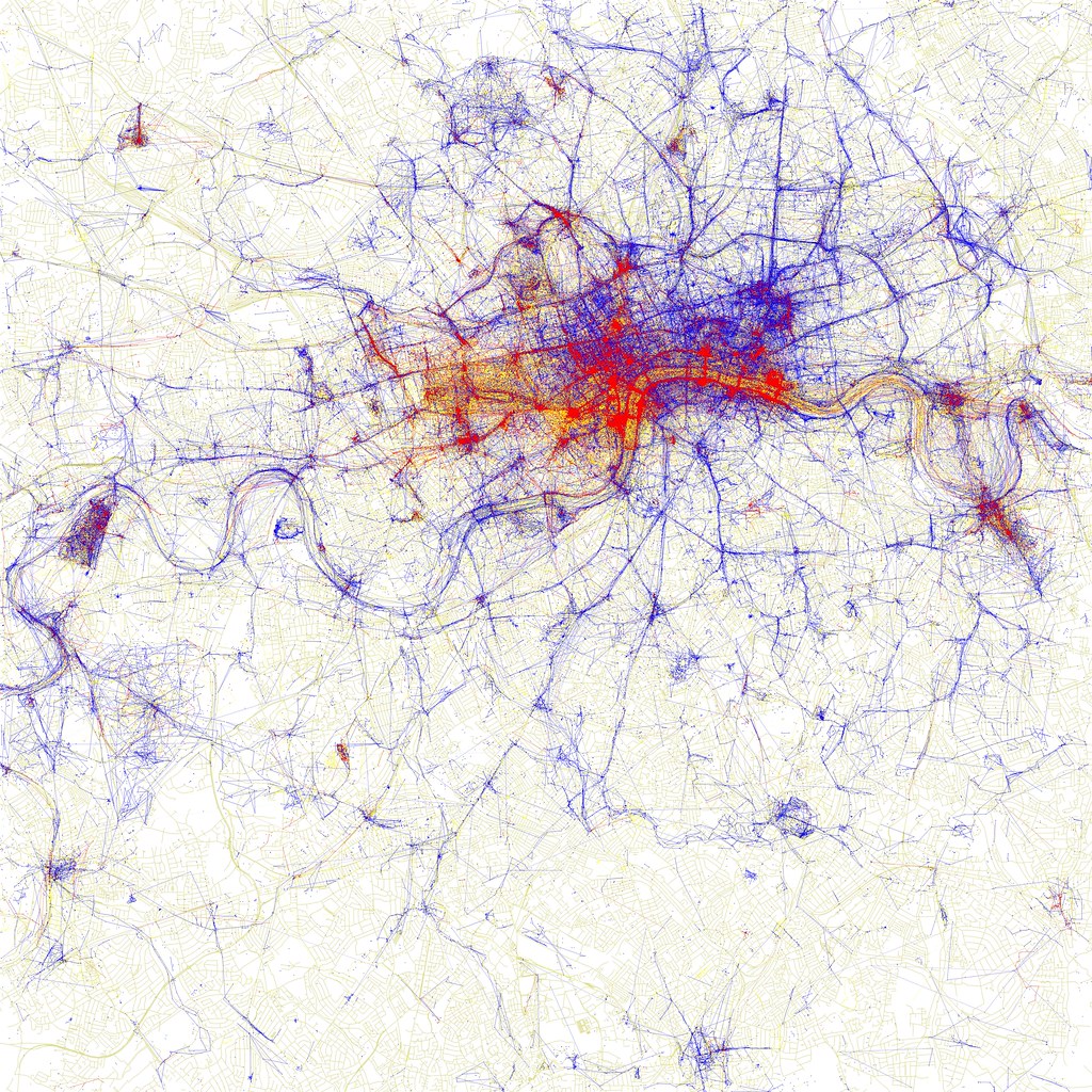
Map of London


Leave a comment